Section 7 Overview
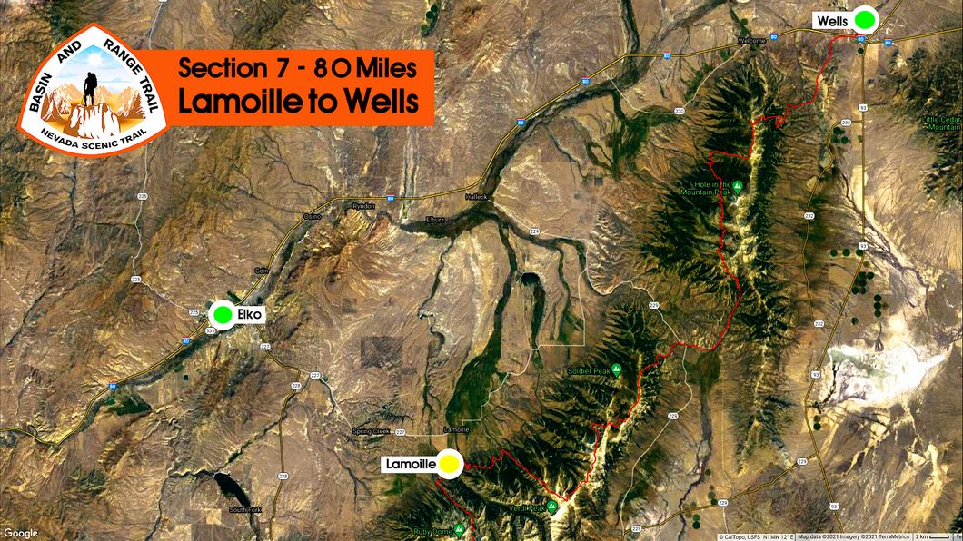
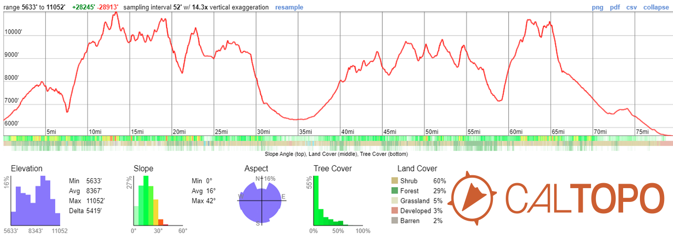
Lamoille to Wells - 80 miles
Low and high routes exist through the northern Rubies to Soldier Creek, where the crest continues north briefly before dropping down into secret valley. From here, the route enters the East Humboldt Range and heads up to First Boulder Creek. The map marks the East Humboldt Highline Trail here, but it's mostly a bushwhack across this challenging range, via high or low routes. You are rewarded handsomely for your hard work though, with beautiful alpine landscapes featuring small lakes, flowing creeks, wildflowers, steep and rocky cirques. Cross the divide at Grey's Peak, head down to Angel Lake and walk or hitch into Wells.
Basin and Range Trail Section 7 - Route Description
This is a challenging section. The northern Rubies are rugged and present challenges to anyone considering a high route. The East Humboldt Range is thick and overgrown, all trail maintenance has been abandoned for decades. There is a lot of beauty here in this section, but you will need to work for it.
This section begins at the Powerhouse Trailhead in lower Lamoille Canyon, also called the Lamoille-Talbot Trailhead. Soon after leaving, you have a choice: high or low route. The northern Rubies see very little traffic, and the route up to the crest through Talbot Creek is unverified. Talbot Creek is extremely thick, and without a trail, it might prove impossible. Instead, the unverified route to the crest takes a ridgeline on the north side of Talbot, up to Smith Peak. Follow this to Cold Lakes and Solider Lakes, and towards Secret Peak. The low route along the base of the Rubies to Solider Creek is also overgrown and less scenic, but can easily be done in a day's walk. The route up Solider Creek is a fairly easy one.
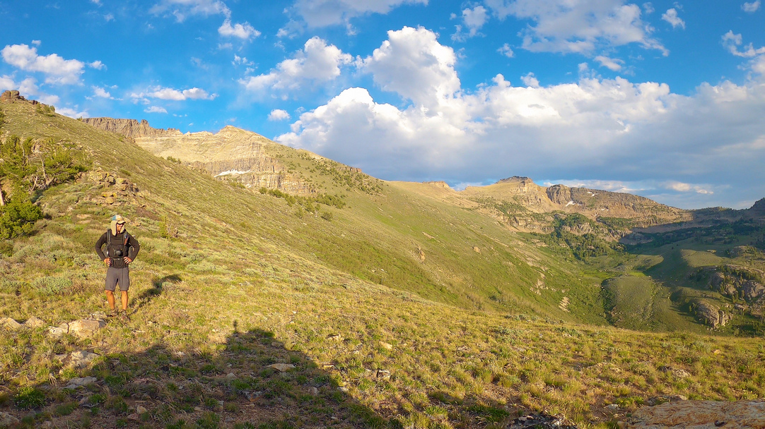
The final ridgewalk, leading to Secret Peak, in the Rubies is excellent... great views and fairly easy walking. However, choose your route down off the ridge carefully, as the vegetation is extremely thick here. Your best bet is to follow a ridge down that looks free of vegetation, instead of following a creek or drainage. From here, cross the very northern end of Ruby Valley and make your way into the East Humboldt Range.
Enter the East Humboldts, take Pole Canyon for the standard route which leads to first boulder creek and the East Humboldt highline Trail (basically non-existent), or take an unverified alternate route that stays high on the crest, over Humboldt Peak and to Hole in the Mountain Peak. The views on either route will be spectacular, and both will be extremely challenging. Do not underestimate the intensity of the bushwhacking here in the East Humboldts. This is probably the most lush and densely vegetated range along the entire Basin and Range Trail. You will learn to avoid aspens, as these often represent the worst bushwhacks. This range will test you like no other range along the BRT, but you will be rewarded handsomely for your efforts. A complete traverse of the East Humboldt Range is a lofty goal. The BRT presents route options to do just that, as well as bail out options.
The goal of this section is to make it through the East Humboldt Range to Gray's Peak, where you will cross the divide and drop down to Angel Lake, making the end of the wettest section along this route. Walk into the town of Wells from here to resupply.


