Section 6 Overview
Eureka to Lamoille - 131 miles
The BRT continues north from Eureka, heading up to the crest of the Diamond Range. This range has no hiking trails and no roads that cross the top. This range sees practically no traffic, yet offers excellent views from its crest for many miles. The biggest obstacle to a continuous ridgewalk of the Diamonds is the lack of water, but low routes exist if needed. Walk the Pony Express Trail across Huntington Valley and into the Ruby Mountains. The view of the Ruby Marsh wetlands to the east is unreal, especially during sunrise and sunset. After a challenging traverse of Pearl Peak, it's time to walk the crown Jewel of Nevada, the Ruby Crest Trail, to Roads End Trailhead in Lamoille Canyon. Alternate routes exist for further exploration for the high-country, off the Ruby Crest Trail on top of the actual crest. The Ruby Mountains are Nevada's wettest range, with several alpine lakes, streams and beaver ponds. Elko is your best best for a full resupply, about a 25 minute hitch from Lamoille Canyon.
Basin and Range Trail Section 6 - Route Description
This section traverses the Diamond Range and Ruby Mountains. Both have gemstone names, surely they must be pretty nice. And they are!
This section begins by climbing up to the crest of the Diamond Range, at which point the 4x4 roads end. There are no trails or roads that cross the entire crest, and there is absolutely zero signs of human use here. It's pretty wild up here. Along the majority of the crest, you will walk the spine, straddling Diamond and Newark valleys. The challenge here is water, with no sources along the crest. Snow melt is possible early season, otherwise, you'll need to drop down off the crest at some point to fill up on water.
Between the Diamond Range and the Ruby Mountains lies Huntington Valley. Here you'll walk the historical Pony Express route, which overlaps with the Overland Trail. Entering the southern portion of the Ruby Mountains, the terrain quickly begins to impress. The more well known Ruby Crest Trail begins another 23 miles to the north, but in-between lies some seldom visited mountains with no hiking trails and spectacular views. Not the typical Nevada desert views either, but overlooking a 17,000 acre marsh among a much larger protected wetland in Ruby Valley. There is more water here than anywhere else along the BRT, which is a bit cruel considering there is none atop the crest here. Still, the ridgewalk here, to Pearl Peak and the nerve racking descent, are moments that are likely to stand out among your BRT thru hike.
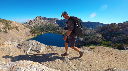
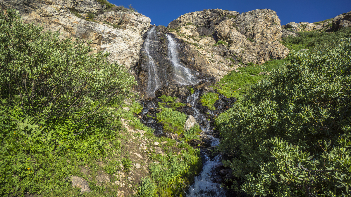
North of Harrison Pass, the Ruby Crest Trail begins. It's roughly 38 miles to Road's End Trailhead in Lamoille Canyon, where the official Ruby Crest Trail ends. However, the Basin and Range Trail offers a high route extension the exits in the stunning Sietz canyon, should you be up for it at the end of this section. Water is more abundant here than almost anywhere else along the BRT, so take advantage of the light water carries. There are several lakes here due to the granite composition, compared to more porous rock like limestone throughout much of the rest of Nevada. The trail is one of the best you'll encounter on the BRT and the views are just as great. Life is good in the Ruby Mountains!


