Section 4 Overview
Carvers to Austin - 94 miles
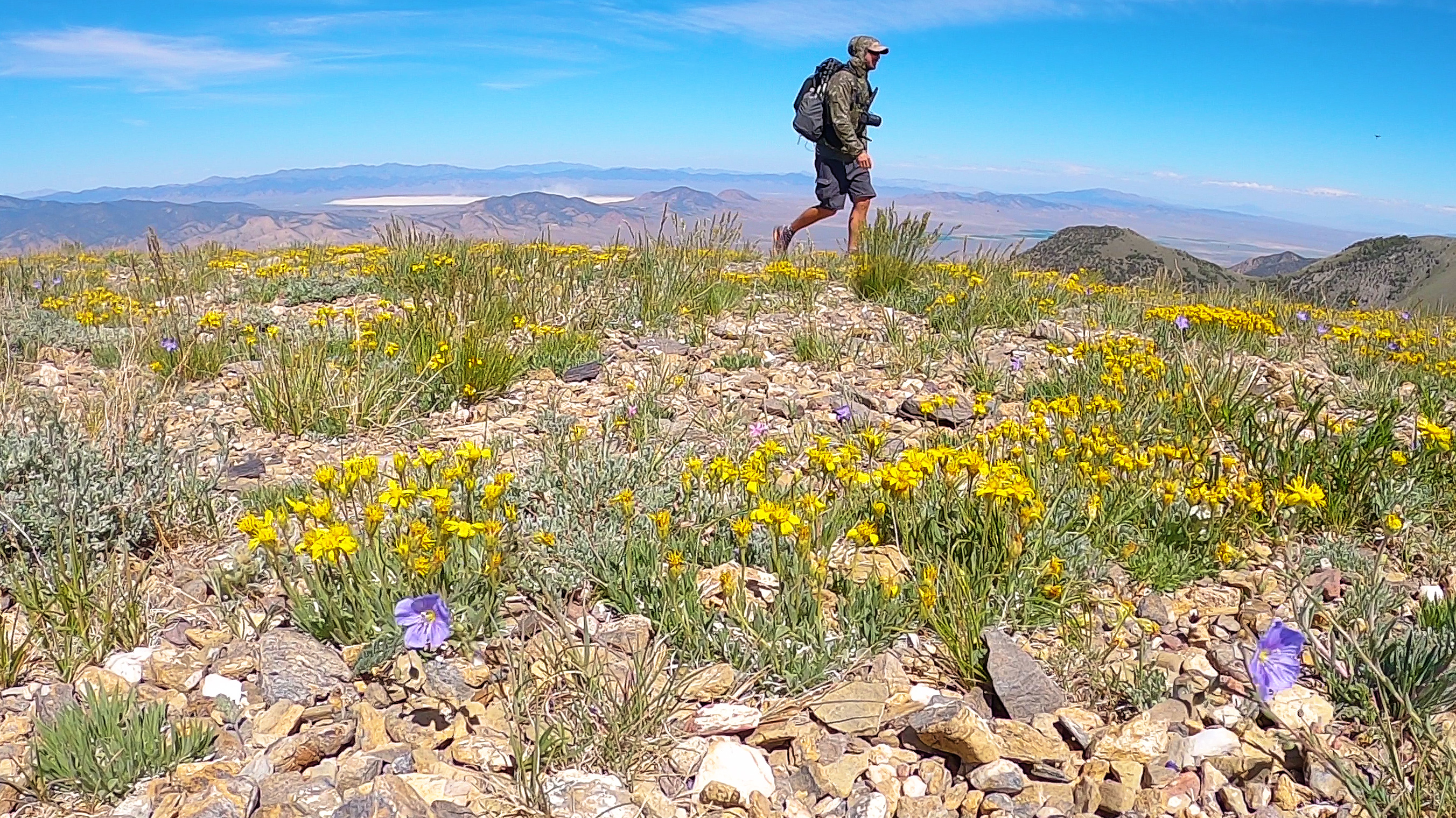
Now the route heads north through the Toiyabe Range, the longest mountain range in Nevada. The route takes South Twin River to get up to the crest, and it's stunning. Countless creek fords, huge sheer cliffs, and many caves. The Toiyabe Crest Trail offers a pretty solid track to follow up on the crest. This is one of only 3 places along the BRT where you might run across another human, although this trail is very lightly trafficked. The views are superb, the sunsets and dried lake beds provide an array of colors that are truly magical. North of Groves Lake, you have high and low route options. Near Austin, many mining operations, new and old, are everywhere. Austin is another walk-in town, and make sure to stop at Stokes Castle on your way into town.
Basin and Range Trail Section 4 - Route Description
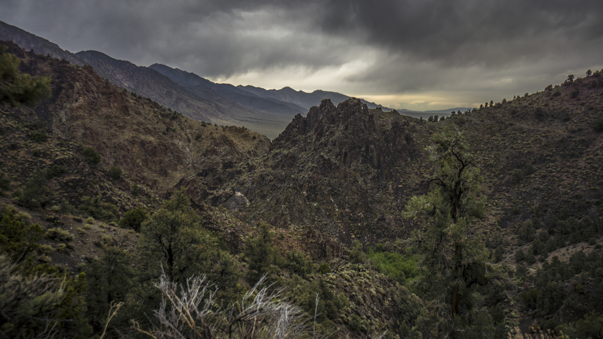
After a short 6 mile road walk north of Carvers, enter the amazing South Twin River canyon. One of the surprises of the Basin and Range Trail is just how impressive some of these canyons can be. This is a perfect example. It quickly becomes apparent that this canyon is special, just moments after leaving the trailhead behind. South Twin River is a solid river that will force you to get your feet wet several times to cross it. This is a lush canyon, and despite the fact that there is a marked trail here, it's still overgrown in several spots. The canyon walls often tower many hundreds of feet vertically, and can feature some extremely jagged rock formations. You will feel like you have stumbled on a lost world here, just tucked away.
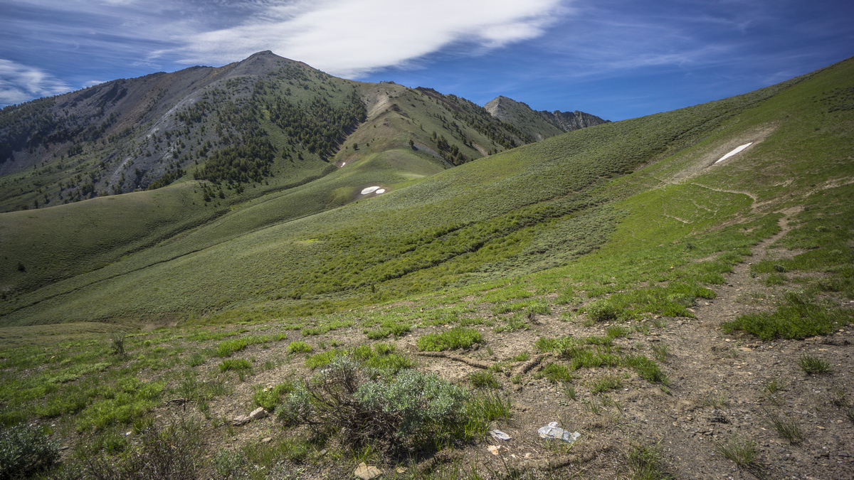
Making your way up to the crest of the Toiyabe Range, you have the option to bag Arc Dome, high point of this range at 11,781ft. Once on the crest, you find yourself on the Toiyabe Crest Trail, which runs for about 46 miles north of here to Groves Lake. With the majority of the big climbs are done, and you can cruise for a while. This is extremely rare on the BRT, so soak it in while you can... a solid and well defined trail with excellent views. At times, the terrain is flat and broad, other times it's sharp and jagged. It's quite dry on the crest in the southern section, so snow melt is your best bet for water.
After an excellent stretch of high country, the trail dips down below the crest and takes a lower route. An unverified high route alternate exists, which looks very promising and rewarding. The bright side of the lower route is the abundant water sources. Here, you will encounter several flowing creeks, streams and springs.
North of Groves Lake, another high route alternate exists, affording another 10 miles of ridgewalking. The low route offers an escape from the wind, easy walking and the opportunity to explore an abandoned ranger station. North of here, you enter the Reese River mining district as you near the small town of Austin. Don't forget to stop at Stokes Castle on your way into town!


