Section 2 Overview
Preston to Tonopah - 120 miles
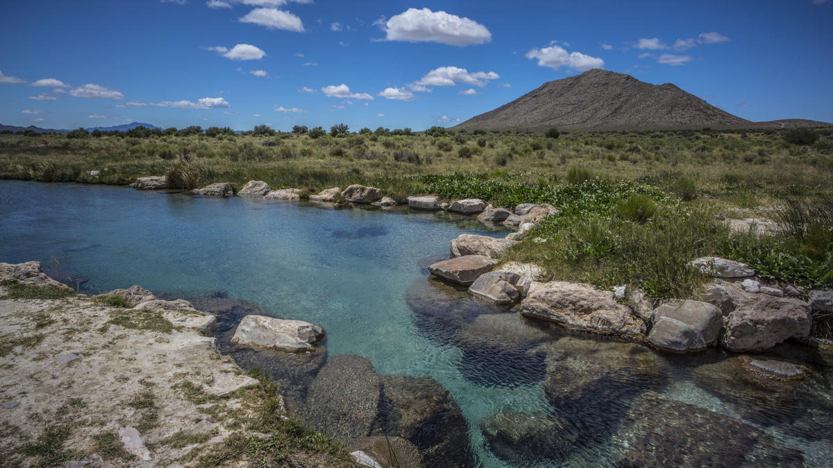
The first section is mild compared to this epic leg of the Basin and Range Trail. From Sunnyside, the route heads west, stopping at a stunning deep blue hot spring oasis. There are many caves in the lower canyons of the Grant Range, and wildlife abound. The crest of the Grant Range offers many miles of challenging ridgewalking with hundred mile views over unimaginable desert vastness. The canyons are rugged and untouched, no signs of human use here. The lush Quinn Canyon Range has several flowing creeks with trout, old mines to explore and even small waterfalls. The walk across Railroad valley and into the Lunar Crater Volcanic Field is an unforgettable desert trek, and represents the southernmost point along the BRT. After Lunar Crater, a 3400ft wide 430ft deep crater, the section ends at HWY 6, where it's an 80 mile hitch to Tonopah, the nearest town.
Basin and Range Trail Section 2 - Route Description
The section begins with some easy walking through White River Valley, and a stop at one of the most scenic desert hot/warm springs out there. Leaving the hot springs, make your way up into Horse Hills and enter the Grant Range. The high point here is Troy Peak at 11,302ft. Troy Peak was said to be John Muir's favorite mountain peak in Nevada. An alternate route into Scofield Canyon affords the opportunity to discover many caves and see abundant wildlife, including a good population of Elk. The crest of the Grant Range is rugged and beautiful, offering hundred mile views in every direction.
An untested ridge route traverses the entire Grant Range north of Timber Mountain, while a low route alternate drops down to the amazing Blind Canyon for water. Here, you will begin to wonder how it is possible that scenery of this caliber can simply fly under the radar, but out here in Nevada, it's par for the course.
Next is the Quinn Canyon Range. Many canyons here have abundant water, by Nevada standards. Little Cherry Creek is an excellent example. With flowing creeks, lush and dense green vegetation and canyons, you begin to realize the diversity of Nevada. Although the map shows trails and roads here, they have long since faded away, and you are mostly on your own here to find a path through the dense thickets. Willow Creek proved to be a challenging bushwhack, but the reward is some cool old horizonal mine shafts to explore and the perfect waterfall for bathing.
Now making your way into Railroad Valley, you begin to realize how small a human can be among the desert vastness. Walk across a dried lake bed on your way to the Pancake Range, a low volcanic range featuring geological oddities and a landscape that represents the moon. In fact, NASA used this site in the 1970's to train astronauts for the Apollo Moon Missions. In the Lunar Crater Volcanic Field, you will encounter many craters as you walk many miles cross country across lava rocks, with dried lake beds reflecting light in the distance.
Make no mistake, this is an extremely challenging, but equally rewarding section. You will walk away from this one with a different understanding of what is possible, what adventure can be and what it means to you.


