Section 1 Overview
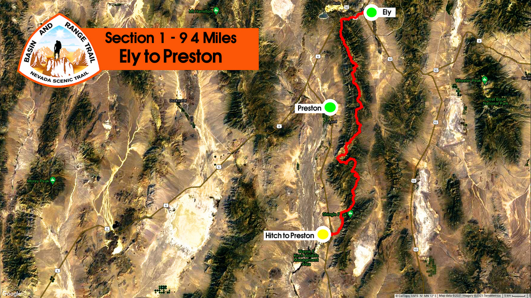
Ely to Preston - 94 Miles
From Ely, the route heads south through the Egan Range, and quickly reaches 10,000ft. Striking limestone cliffs on the west side and a more gentler, rolling east side provide a prompt introduction to the Basin and Range topography that make up much of the state. From the ridgeline of the Egans, sweeping views of Steptoe Valley and White River Valley. This area is surprisingly green and lush, with pockets of pines, aspens and ample water. To stay on the crest and walk the ridge, much bushwhacking is involved. Cave Valley offers a low route alternative to the ridgeline if needed. The section ends at HWY 318 near Sunnyside. From here, it's a 30 mile hitch north to Preston to Resupply.
Basin and Range Trail Section 1 - Route Description
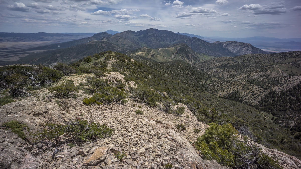
The Basin and Range Trail begins starts by following the Egan Range south from Ely. There is not a whole lot of information on the Egan Range, but you'll find great beauty in the striking limestone cliffs and mountains coupled with the fairly lush and green environment. The western side of the range features more dramatic cliffs, while the east side could be consider more rolling hills. This is somewhat typical of Nevada's fault block mountain ranges. Aspen trees thrive in some canyons, and big pines in others.
Highlights of this section include Ward Mountain, the upper and lower terraces, pretty much any section along the crest of the Egan Range. Whipple Cave might also be an interesting stop, but it requires a 70ft rappel to get down into, so without the proper gear, it's just a hole in the ground otherwise.
Ward Mountain is the high point of the range at 10,935ft, and you have an opportunity to bag it on day 1. However, this is an ambitious plan given the elevation, unless you have properly acclimated before the hike. The crest of the Egans is rather easy to follow in the northern section, but eventually it becomes more segmented and forces a lower route. Some bushwhacking is involved to stay on the crest, but not as bad as other sections of the BRT. Excellent views from the crest of the Egans over White River Valley, Steptoe Valley and farther to the south, Cave Valley.
There is a decent network of 4x4 roads running through this range, making it a good way to ease into the Basin and Range Trail. You will be walking some of these and blazing your own cross country path in between them. The bushwhacking aspect of this section is low compared to others along the BRT.
At the southern end of this section, the route traverses around the South Egan Range Wilderness and Far South Egans Wilderness areas which provide some impressive scenery, especially as the route exits the Egans and enters White River Valley.


