Section 9 Overview
Wendover to Ely - 125 miles
Continuing south from US 93 ALT through Antelope Valley, the route leaves the Goshute Range behind and heads up into the Kinsley Range. Walk through a huge open pit gold mine your way up to the crest, and follow that south to Antelope Peak, highpoint of the range. Next comes the Antelope Range, home to not only many pronghorn but also large herds of wild horses. The route then follows the Schell Creek Range south, generally considered the second longest in Nevada. Summit Becky Peak to gain access to the crest, which offers excellent views. The Schell Creek Range has a decent route that runs along of parallel to the crest. It's a mixture of single track trail, and bushwhacking, and a 4x4 trail called the Ranger Trail. Take the high route along the 11,000+ft ridgeline in the High Schells Wilderness to bag some ultra prominent peaks, or a lower route below the crest. This section ends at Cave Lake State Park, where it's a 15 mile hitch into Ely to resupply.
Basin and Range Trail Section 9 - Route Description
From US 93 Alt, the route continues south along the remainder of the Goshute Range, at the base of the mountains, The golden grass of Antelope Valley continues, making for a pleasant walk. High route options may exist, if you are willing to bushwhack. A few small caves may be found along the way.
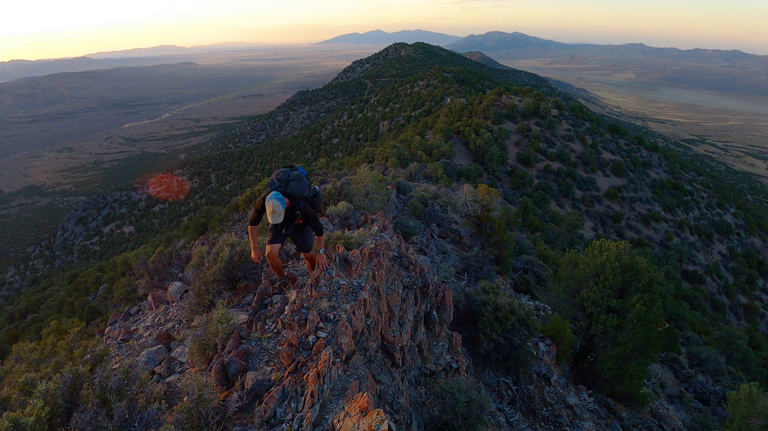
South of the Goshutes, make your way into the Kinsley Range. Walk through a large open pit gold mine, which in recent years has not been operating. On your way up, keep an eye out for some excellent specimens of wonderstone, and other interesting rocks. Once on the crest, you'll find it surprisingly manageable, and surprisingly beautiful. Bag Antelope Peak, the high point, and take note of Becky Peak to the south. This is your next destination.
Now enter the Antelope Range, a low range with somewhat abundant water and lots of wildlife. Many pronghorn and horses call this area home. The best views of this range are to be had walking west out of the range towards the Cherry Creek Range.
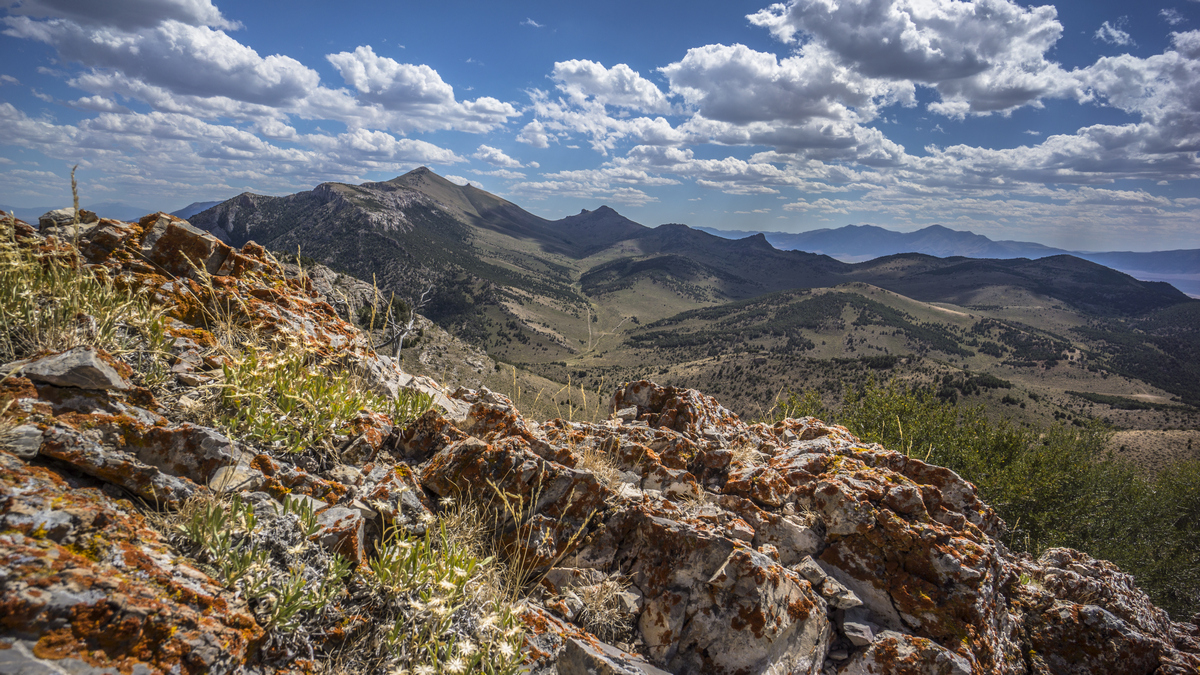
The climb up Beck Peak is relatively easy, and offers excellent sweeping views of the entire Schell Creek Range, as well as Steptoe Valley, Cherry Creek Range, Antelope Range and Antelope Valley. From here, you can see Mt Moriah in the Distance and Wheeler Peak, your final destination on the Basin and Range Trail, over 150 trail miles away. It's places like this that put distances into perspective for the hiker. Much of the Schell Creek Range south of here follows the Ranger Trail, a network of 4x4 roads. In between you'll hike an occasional single track trail, horse trails, and of course, do a bit of bushwhacking. The views are good, trail conditions are good for BRT standards, and water is not fairly frequent.
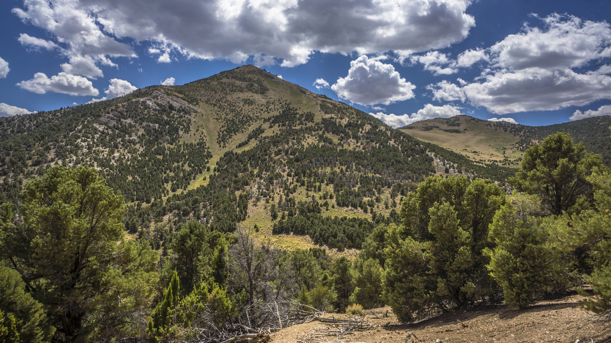
As the route approaches the High Schells Wilderness, you have the option to stay high and bag a few ultra prominent peaks. The high route stays above 10,000ft for 17 miles, and above 11,000ft for 10 miles. A low route exists through Duck Creek Valley. This section ends at the beautiful blue waters of Cave Lake State Park, where you can hitch into Ely to resupply. It will feel strange returning to your starting point, but there is still one more leg of the Basin and Range Trail to go!


