Section 5 Overview
Austin to Eureka - 106 miles
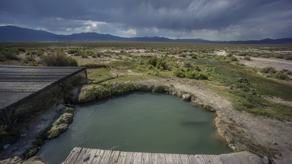
From Austin, the route heads east, crossing the northern portion of the Toquima and Monitor ranges again. The route passes by Spencer Hot Springs, which makes a great spot to camp for the night. Make sure to allot time to explore the nearby Linka Mine. The northern portion of the Toquima Range is much smaller than Mt Jefferson at 7000ft, and is a quick traverse. However, the northern Monitor Range is more formidable at over 10,000ft. Heading east, the route crosses Antelope Valley, Mahogany Hills and the Fish Creek Range before walking into the town of Eureka.
Basin and Range Trail Section 5 - Route Description
Leaving the Toiyabe Range behind, it's time to head to Eureka, and the Diamond Range. To get there, the the route stays south of hwy 50 across the northern portions of the Toquima and Monitor Ranges, which you have already walked in section 3. Here, the terrain is less impressive. To be frank, this is the least interesting section of the Basin and Range Trail, but is necessary to connect the route. Still, there are several areas of interest, and some amazing experiences to be had here.
Take Birch Creek to exit the Toiyabes and enter Big Smoky Valley for the approach to Spencer Hot Springs. This is probably the single most popular place you will encounter along the BRT, so expect to find several groups of people here at most times, and many people overnight camping. Tourists fro all over the country come here, it's one of the more well known hot springs in Nevada. There are 13 springs in the area, but only a couple of main ones people actually soak in. Many horses and burros make this area home as well.
Near the hot springs is the Linka Mine. If you are a rockhound, you are going to want to allocate at least an hour or two here. With some effort, you can find garnets, epidote, galena and many more gems and minerals. There are several mines, shafts, buildings and countless relics to find and discover here in this sprawling mine complex.
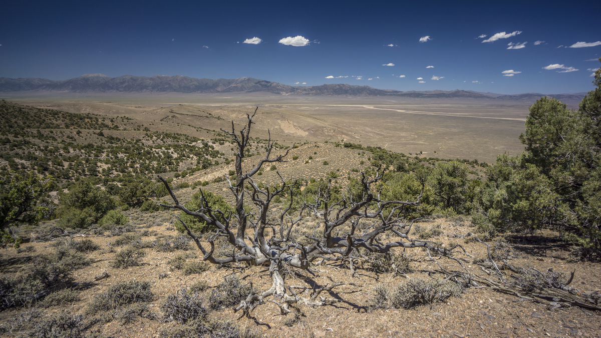
Leaving the Linka Mine, the walk across the desert to the northern Toquima Range reminds you how desolate it can be when you leave the presence of people. The northern Toquima Range is very low here, nothing more than a hill. Then it's a cross country hike out of the Toquimas and through a valley full of sage brush as you approach the Monitor Range again. Summit Mountain is the high point on your horizon, which is your next destination. This will be your best view of the entire section.
Next make your way across Antelope Valley and into the Fish Creek Range. After a scramble to the top, walk the ridge into the town of Eureka to resupply.


