Section 3 Overview
Tonopah to Carvers - 117 miles
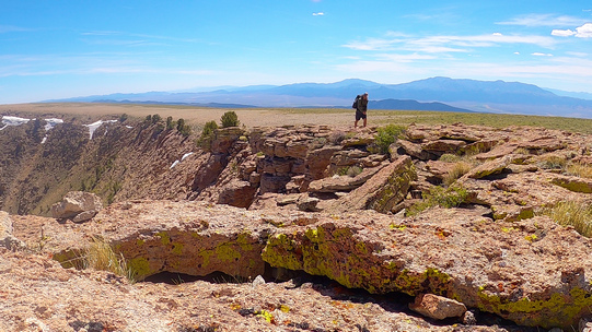
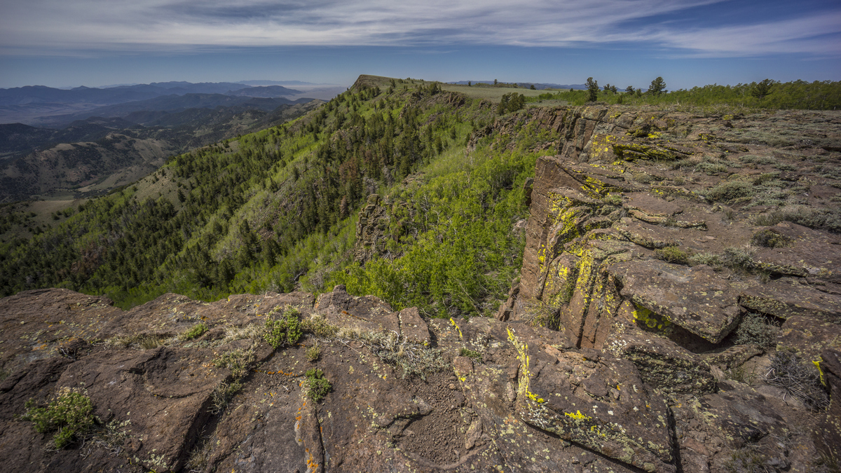
This section continues west across the Hot Creek, Monitor and Toquima ranges, and the route bags the highpoint of all three. The mountains become progressively higher and wetter as the route heads west, reaching elevations as high as 11,900+ ft. The Hot Creek Range features many near-vertical jagged rock formations, outstanding views from the high country, colorful wildflowers and wild horses at lower elevations. Project Faultless, a nuclear test site, old cabins and mining operations offer interesting explorations of historical interest. Next, the route traverses the crest of the Monitor Range through the Table Mountain Wilderness. This area is home to a strong population of Elk, so keep your eyes open for some big bulls. In the Toquima Range, you may come across your first legitimate hiking trail. Don't get used to it! After bagging Mt Jefferson, the route passes by Jefferson, an old ghost town, past an active gold mine, through Big Smoky Valley and walk into the small town of Carvers.
Basin and Range Trail Thru-Hike Vlog: Section 3 - Tonopah to Carvers
Basin and Range Trail Section 3 - Route Description
After hitching back to highway 6 at lunar crater, you instantly realize how alone you are. When you leave both Ely and Tonopah, there is a sign that says "next gas 167 miles". This is the halfway spot, and there is absolutely nothing in either direction. It's vast, empty, and awe-inspiring.
Set out into the open desert towards Morey Peak and the Hot Creek Range, making your own path as you go. The Hot Creek Range reveals it's full depth and character as you approach, but first, a stop at Project Faultless. Here, a nuclear device was detonated over 3000ft underground, and the shaft drilled remains, cemented off and largely forgotten. Up Morey Canyon you'll find many mining relics, old cabins, ghost towns. The scenery also improves with elevation, offering increasingly stunning views all the way up to the crest. The crest of the Hot Creek Range is rugged by not incredibly difficult, and the views here will stay with you forever. The view from Morey Peak is perhaps the most perfect example of Basin and Range topography you will encounter along the entire route.
After a difficult bushwhack down Morey Peak into Six Mile Canyon, you are dazzled with colorful wild flowers and wild horses. Make your way through the Fandango Wilderness Study Area, home to abundant water and depending on your route, perhaps an interesting box canyon or cave to discover.
Walking out of the Fandango WSA, it's time to cross Little Fish Lake Valley and head up clover creek into the Monitor Range. The lower reaches of the Monitor Range do a great job of hiding the beauty of the high country. The crest of the Monitor Range passes through the Table Mountain Wilderness. It's a fairly easy ridge walk and offer incredible views to boot. Coming down off the Monitor Range, it's a bit of a bushwhack before gaining an actual hiking trail that leads down into Monitor Valley. The potentially snow-capped Toquima Range now stands high above the valley as you make your way across it. Several creeks flow down out of the mountains on the east side, such as Pine Creek, which offers a solid hiking trail up to the crest. A longer route can be made to walk a longer section of the Toquima ridgeline, bagging north and middle summits of mt Jefferson in addition to the south summit, the highpoint of the range.
On your walk through Jefferson Canyon, coming down out of the Toquima Range, you'll walk through an old ghost town and old mines. Walk across Big Smoky Valley and into the small town of Carvers to resupply.


